There haven’t been updates on the Cycling Dutchman Blog for a while. This is not because I have run out of things to write, but simply because I have been very busy working on the second edition of our English-language guidebook about cycling in TheNetherlands. It is out now!
With the established demand for good, quality information in English about the cyclist’s paradise and knowing that the first edition of our guide would sell out autumn 2015, I set off about a year ago, asking myself how I could make the guidebook better. How could I make the pack even more informative and how could I make best use of the available pages? Where could I make improvements on the established routes and what were those world-class destinations not yet on the itinerary?
One thing that really had started to bother me about the first edition of the book that it was really exclusively about cycle touring from one accommodation to another, not catering for those who just like to do day rides from one accommodation. At the same time, when making my regular visits to Amsterdam, I noticed an explosion in the availability of bicycle rentals in the city. Where there were about five rentals catering for tourists about five years ago, there are now nearly fifty!

This all has to do with the increased popularity of Amsterdam around the world as one of those cities you want to visit once in your life. Flights are cheaper than ever before and if you have London, Paris, Barcelona, Berlin and Rome on your wish list, Amsterdam is easy appearing on it too. The only problem with Amsterdam is that its historic World Heritage canal belt city centre is only a couple of square miles wide, where other European capitals have much larger city centres, capable of “storing” many more tourists.

Within 15 years, the number of international visitors to Amsterdam has doubled from 4.5 million per year to 9 million visitors per year, with the number of available hotel rooms growing from 16,000 to over 26,000 in the same period. The public space where the visitors wish to roam remained the same though, causing stress on the existing infrastructure. In Amsterdam, locals call this the Disneyland Effect. There is serious concern that Amsterdam’s City Centre starts to become like a 24 hours theme park, not a place to live, work or to do business.
With the City of Amsterdam and the government of The Netherlands now actively seeking ways to attract tourists away from the Amsterdam historic canal belt to other highlights of the country, and at the same time many people still flocking to the Dutch capital, wouldn't it be neat to use the bicycle to get people to explore beyond the obvious and to provide multiple day rides from Amsterdam’s Central station, all with their own themes and sights and all truly showing what the Dutch cycling culture really is about?

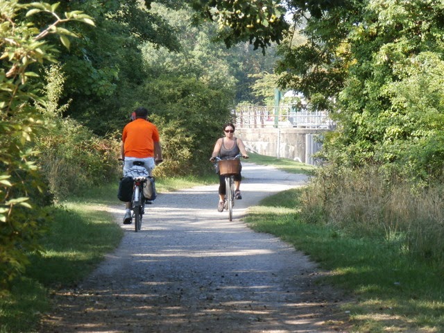
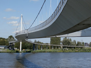
This is how I came about to create six Amsterdam day rides for my new book, all with flexible distances to cater for everyone. Still starting and ending in the historic canal belt, the routes truly show you the great Dutch capital at its best, keeping you away from the rushed locals as much as possible. The green oasis within the city, such as River Amstel, Vondelpark, Westerpark and the Amsterdam Forest (“Amsterdamse Bos”) are all part of the pack, such as are the mighty trading ship “Amsterdam”, Artis Zoo, the Olympic Stadium, Amsterdam’s famous multi-storey bike park fietsflat, the stunning Rijksmuseum cycle tunnel and the sublime NEMO-rooftop (with the very best city views).
 If you like design and architecture, you'll enjoy the rides in the revived eastern docklands. Surprisingly green is North Amsterdam, very close to the city centre and trending with the locals as a desirable place to live. In West Amsterdam, the book takes you to its garden cities and on the south side of the city centre you can experience Amsterdam's Expressionist's building style from the 1920s.
If you like design and architecture, you'll enjoy the rides in the revived eastern docklands. Surprisingly green is North Amsterdam, very close to the city centre and trending with the locals as a desirable place to live. In West Amsterdam, the book takes you to its garden cities and on the south side of the city centre you can experience Amsterdam's Expressionist's building style from the 1920s. 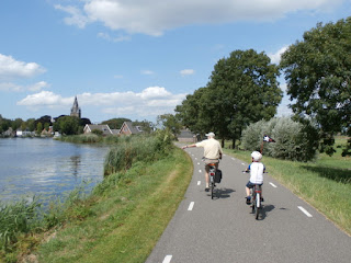


The book with 164 full colour pages (page size 225 x 120 mm), spiral/wiro bound and the electronic GPS-tracks pack costs £18.95 for deliveries within the United Kingdom, £22.95 for deliveries in all other EU-countries (including The Netherlands) and £24.95 for deliveries world-wide. Find out more and order the book via www.cyclinginholland.com. Retailers interested in stocking the book should be in touch with our distributor Cordee (ISBN 9780957661714).
What about another great guidebook by the Cycling Dutchman?

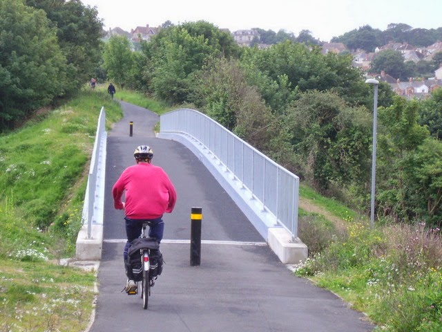
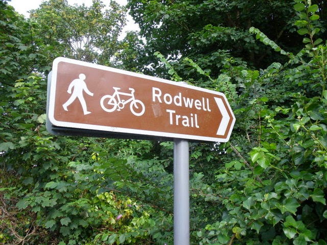
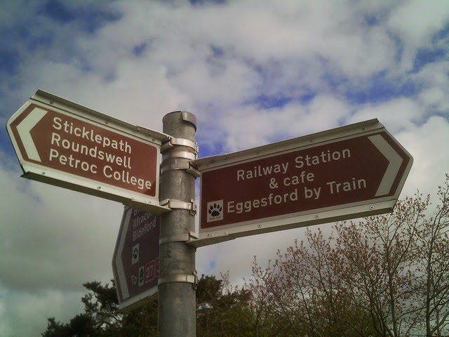
The London - Land's End Cycle Route Book is designed for those who LOVE cycling, but don't like traffic. The book takes you onto the most beautiful cycle routes of southern England, including the Camel Trail, Devon Coast to Coast Route, Bristol and Bath Railway path, Thames Valley route and many more! What makes the book unique is that the route is completely continuous, including detailed directions and local knowledge all the way. Get inspired; choose your favourite route sections or go for a full summer holiday adventure; 164 pages, colour, wiro bound, fits in standard handlebar bag, see http://www.london-landsendcycleroutebook.com.
Other popular Cycling Dutchman blog articles:
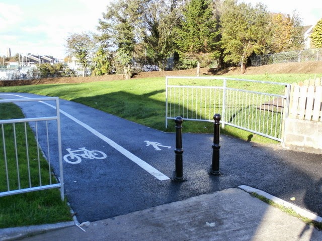
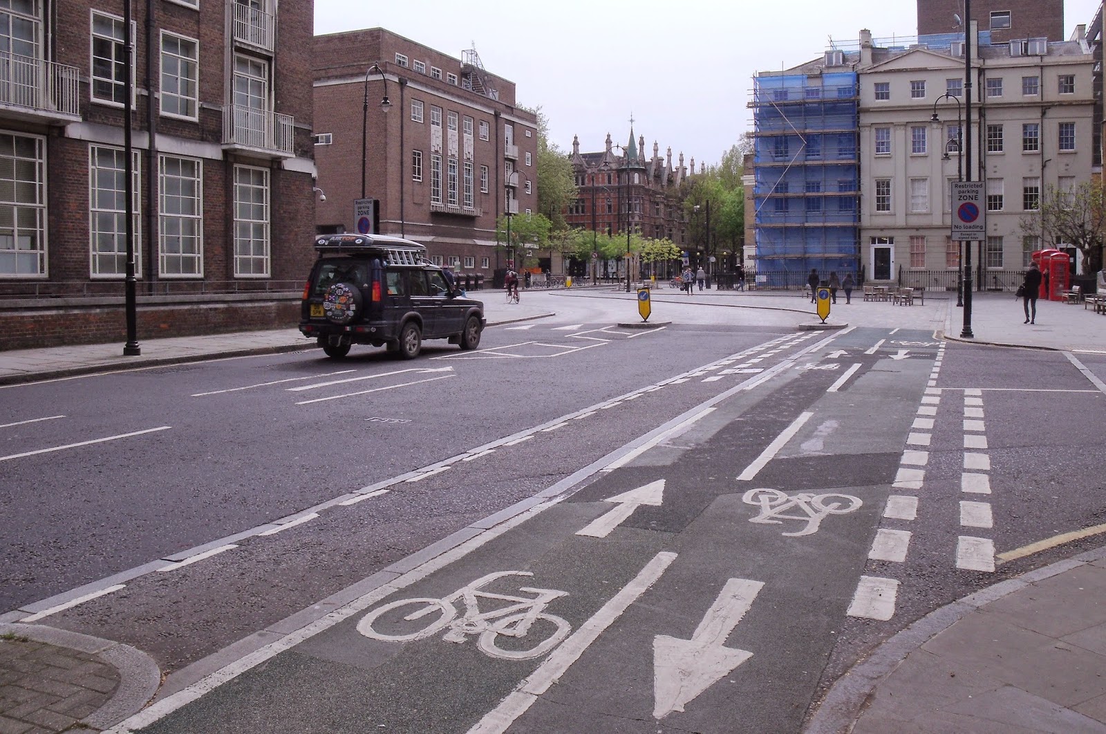
Explaining Dutch cycling infrastructure:

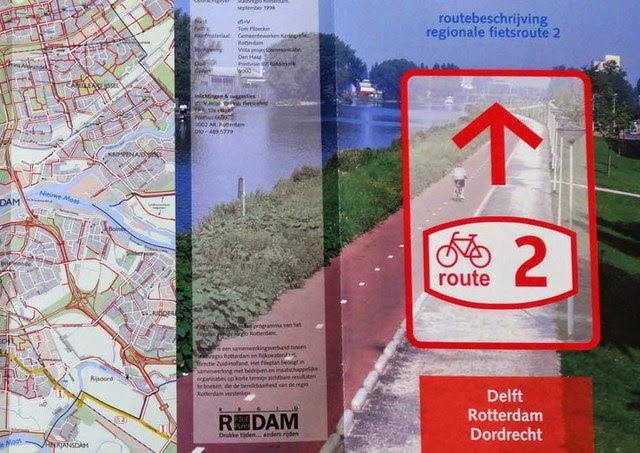
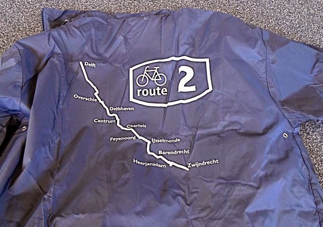
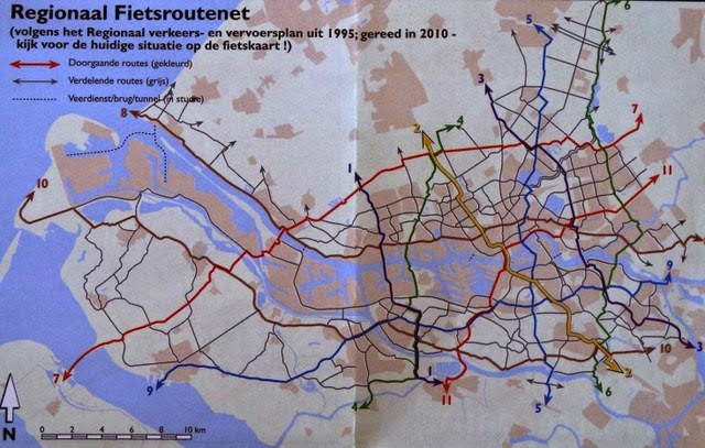
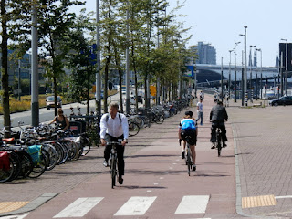
Dutch bike rides and Dutch cycling culture:

Dutch style bike rides in the United Kingdom: